

1
/
of
2
Adventures In Prospecting
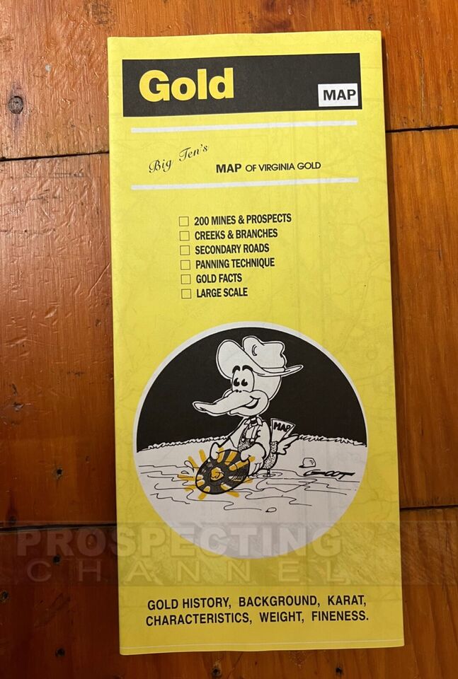
Big Ten's Map of Virginia Gold Deposit Locations 200 Sites + More info
Big Ten's Map of Virginia Gold Deposit Locations 200 Sites + More info
Regular price
$25.95 USD
Regular price
Sale price
$25.95 USD
Unit price
/
per
Shipping calculated at checkout.
Low stock: 5 left
Couldn't load pickup availability
Big Ten's Map of VIRGINIA GOLD
BRAND NEW
• Save Time, all the research has been done in one easy to see and understand map
BRAND NEW
• Save Time, all the research has been done in one easy to see and understand map
• Fun to Study Poster Size (38 inches length x 25 inches wide) that you can hang on your wall!
• 200 Mine Sites and Prospects represented by yellow gold nugget icons each indicating where over 1,000,000 dollars at minimum has been recovered as documented with state and federal records.
• Includes Ancient Tertiary Rivers, Modern Rivers, Streams, and Creeks
• Hard Rock Mine Locations
• Bonus information on How to Pan for Gold and Where to Look for Gold
Poster Size Maps with 2 sides that include:
MAP INCLUDES ENTIRE STATE OF VIRGINIA and where gold is occurring/deposited within the state.
MAP INCLUDES ENTIRE STATE OF VIRGINIA and where gold is occurring/deposited within the state.
Plus all the rivers, small creeks and streams that flow through out the state.
Plus: Virginia State Gold History and background information. Gold panning instruction. Gold Karat terminology. Gold Weight Info. Gold collecting in stream beds info. Gold Fitness defined. Information on recreational panning on public and private land. Placer Gold Deposits and Hard Rock Deposit information.
Includes roads, highways and dirt roads so you can figure out how you can get to where you want to prospect and mine.
Great Source and probably the best map series for showing you where major gold deposits have been located.
Remember: Each Gold Nugget Icon shows you where over $1,000,000 has been recovered but that does not mean there is not gold to be found in areas between the icons!
Share
SKU:
View full details